

The Road Trip: Three Friends Tour America's West
For the better part of the last three months, Carter, Caleb, and I have been planning a two-week long road trip throughout the western United States.

Brea, California
May 6, 2015
I can't wait for tomorrow.
For the better part of the last three months, Carter, Caleb, and I have been planning a two-week long road trip throughout the western United States. Every stagnant pause at the dinner table, every quiet car ride around town, all of my available thinking time has been dedicated to this trip.
You could say I'm excited.
Just a little bit.
Here's an overall map and where we plan on staying. Quite a swath of land to discover in only 13 days. (Click image to enlarge)
Although we intend on having a fair bit of time for relaxing, our itinerary has been rigorously planned, every roadside attraction has been accounted for. But as you can see, our main goal is visiting National Parks.
List of our upcoming attractions:
Yosemite National Park — Days 2 & 3
Sequoia & Kings Canyon National Parks — Days 4 & 5
Death Valley National Park — Day 6
Zion National Park — Days 7 & 8
Bryce Canyon National Park, Capitol Reef National Park, and Grand Staircase-Escalante National Monument — Day 9
Arches National Park and Dead Horse Point State Park — Day 10
Canyonlands National Park — Day 11
Mesa Verde National Park — Day 12
At 2 p.m., a thunderous knock came from the front door.
My heart was pounding in my ears. I opened the door to find two goofy grins staring back at me—Carter and Caleb. The three of us met when we worked for Philmont Scout Ranch in the summer of 2013 at Sawmill camp. We quickly became close friends that season.
As for proof, a goofy pic of our entire staff.
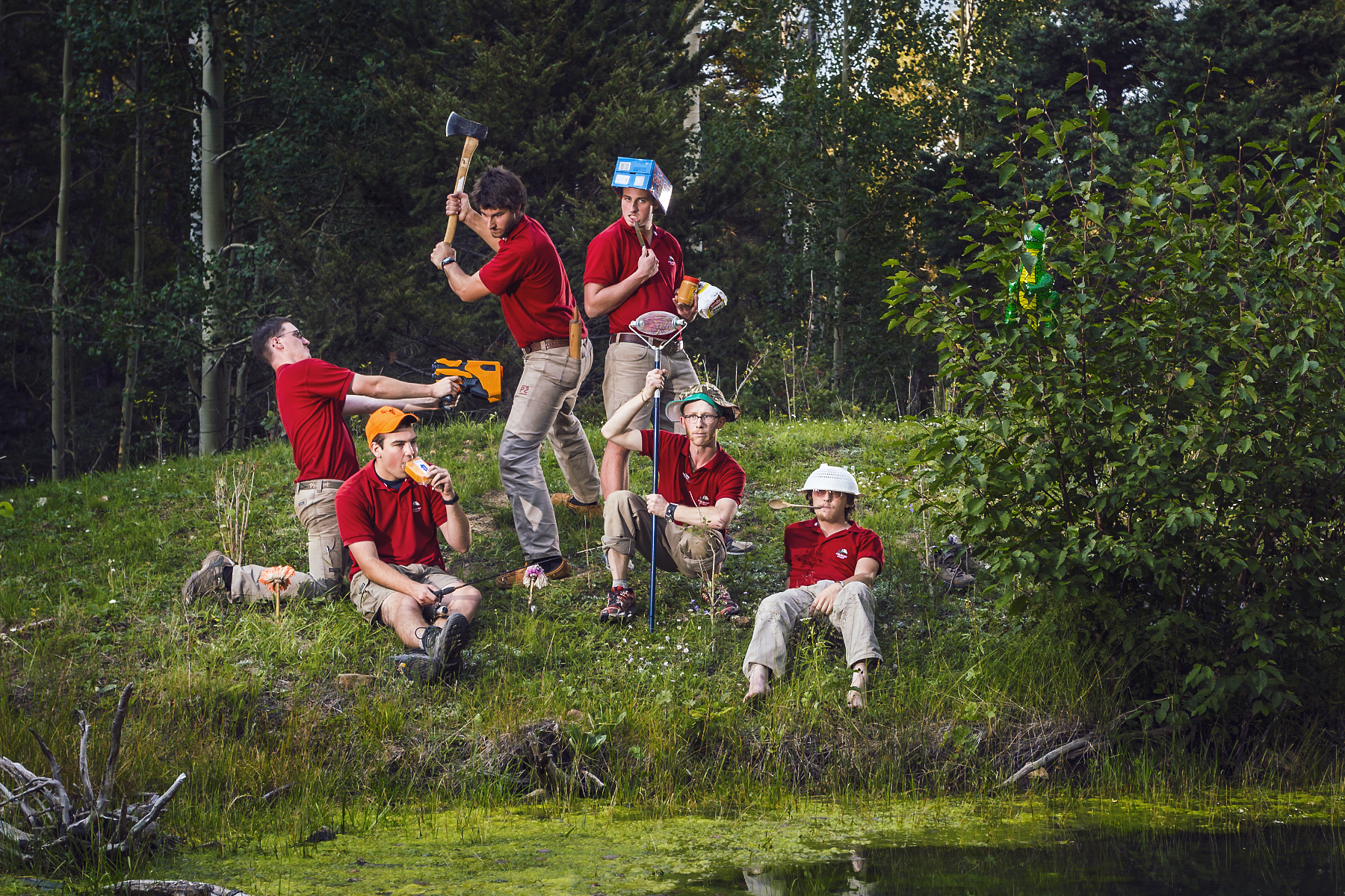
Caleb Jennings is the hippy without shoes, Carter Smith is the giant with a 3/4 ax, and I'm the imp with a nut-collector. Yep, what a crew.
The three of us went out for dinner and drinks; a celebratory commencement.
We came back home for ice cream and a living room showing of Reservoir Dogs.

My duffels are packed, my goodbyes to my family have been said. After much anticipation and waiting, the time has come.
Wheels up, 7 a.m.
Tomorrow, it begins.
The Road Trip has started.
Hey, want a ride?
Stick your thumb out:

The Road Trip Day 1: Barefoot in Monterey
6:37a.m.; I beat my alarm clock by three minutes. A softly rising sun streamed through my bedroom window while I quickly dressed. Coffee brewed and poured...
Pacific Coast Highway, California
May 7, 2015
6:37a.m.; I beat my alarm clock by three minutes.
A softly rising sun streamed through my bedroom window while I quickly dressed. Coffee brewed and poured, and with a few more weepy goodbyes from my parents, we piled in the car and headed off.
Opting for the scenic route, we chose to drive along California's famous highway, the Pacific Coast Highway, or as hip locals say, “the P-C-H, dude”. Miles evaporated while excitement and tunes freely flowed throughout our vehicle.
Lunch time sped up on us.

Pizza lunch on a table in San Louis Obispo, California.
After a quick reference from Yelp, we pulled off the highway and headed for Pizza Solo in San Louis Obispo. We opted for a bacon, chicken, and pepperoni pie. #treatyourbodylikeatemple. It got snarfed down immediately.
Back on the road.
We headed further North. With Los Angeles a considerable distance in the rear-view mirror, heavier and darker clouds began to permeate the sky.

After another hour and a half, it was time to get out, stretch our legs, and check out the beach.


A peaceful moment at Arroyo Laguna State Beach.
It was a spectacular afternoon.
This is the first time I have ever traveled along the PCH. California natives, mostly retirees, regularly discuss driving its entire length.
There was no shortage of amazing coastal scenes. Mile after mile of winding and soothing coastline filled the windows.
Here's an excerpt from my journal:

“The [trees] looked a lot like snarled Bristlecone pines. Dunes and mountains were covered in colorful native brush. Steel blues, muted mustards, and olive grasses adorned the rolling hills. The entire time, hugged by the crushing ocean—jagged rocks breaking through the madly frothing surface of sapphire and turquoise foam.”
Another hour of winding and cruising later, about 70 miles before our hotel, we made one more stop.
There weren't any signs, but there was a large pull-off area on the opposite shoulder. We parked, hopped out, and inspected our surroundings.

What a scene to be rewarded with.

The three of us silently stood still and enjoyed a cool sea breeze. A gentle rumble of breaking waves below us kept an even tempo.
Carter gently reminded us we still had a bit farther to go.

A unique erosion control method.
We arrived at our hotel just as it stopped sprinkling. After a quick unpacking, we went downstairs seeking dinner recommendations. The lobby had complimentary wine and cheese.
Dinner options were within walking distance. Not soon after setting out, my homemade moccasins were thoroughly soaked from the soggy pavement.
I removed them. Socks too. The concrete was cool and wet.
We continued searching for something other than pizza.
Hey, want a ride?
Turn it around:
Stick your thumb out:
The Road Trip Day 2: Foggy Mountain Monoliths
Woke up with yesterday's cloudy skies still hanging around. The coastal air was crisp. We packed up and drove with the windows...

Yosemite National Park, California
May 8, 2015
I woke up to yesterday's cloudy skies still hanging around. The coastal air was crisp.
We packed up and drove with the windows down. Today's journey was less than 200 miles and we had a camping reservation. The goal was to head out early, take our time, and enjoy the views.
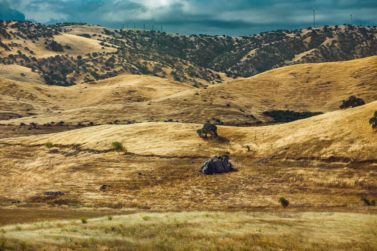
Slowly, we gained in elevation. The temperature kept dropping.

Welcome to Fish Camp.
It was cloudy and ominous all day.
Upon arrival at Mariposa Grove, we were surprised to find at least three inches of snow on the ground. Water dripped from the trees, plunking loudly on our car's roof. We each took turns peering through the sunroof watching large droplets splash on the glass.

We got out and took a walk.

It was cold!
Yesterday's overcast delight spoiled me. I hope I brought enough warm clothes for the entire trip.

Caleb Jennings enjoying the cool air at Mariposa Grove.


With temperatures hovering in the mid 30's, there was talk of finding an alternate plan. We were not prepared to camp in the snow.

The decision was to find and rent a room for the next two nights. After all, we are on a vacation.

Headed to Tunnel View via Wawona Tunnel.
After exiting the park, we found a room with a reasonable rate. Camping would have been rough; my sleeping bag is only rated to 20 degrees.
Dinner was Mountain House pasta primavera and a generous glass of whiskey. I lost two cribbage games.
Tomorrow's plan is to hike the Mist Trail.
Hey, want a ride?
Turn it around:
Stick your thumb out:

The Road Trip Day 3: 7,200 Feet of Granite
It was easy to get up this morning. I appreciated the lack of snow. A head poke outside revealed beautiful blue skies.

Yosemite National Park, California
May 9, 2015
It was easy to get up this morning. I appreciated a lack of snow. A head-poke outside revealed beautiful blue skies. What luck!
After a short drive to Happy Isles trailhead, we hopped out, laced up hiking boots, got water filled, and applied sunscreen.
Ready.
Although it was steep, we breezed past the majority of heavily panting visitors.
About 1.5 miles, 1000 feet of elevation gain, and 600 stone steps later, we arrived at the top of Vernal Fall.

We found a comfortable rock and took a water break at the top.
I snapped a quick group shot.

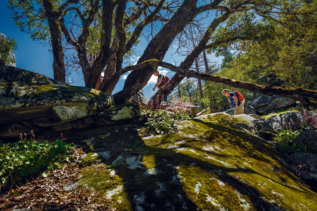
Switchbacks are my favorite.
However, we didn't stop for long. Nobody wanted to hike in the heat of the day. Duh.
Up, up, up.
It was a steady incline the entire way.


Caleb at Clark Point.
Four miles later, we arrived back at the parking lot. Sweaty.
With time left in the day and not wanting to hike 3,000 feet up out of the valley floor, we jumped in the car and drove all the way around to Glacier Point.
Carter locked the car and the three of us waded through the crowd, politely waiting our turn for a view from up against the railing.

View of Upper and Lower Yosemite Falls from Glacier Point.
As luck would have it, a massive cloud eclipsed Half Dome and hung around for the duration of our stay.
Half Dome was half-visible.
I felt cheated, but on the other hand, it was a unique view.
Guess I'll have to return someday soon.

No, 'Cloud's Rest' is the other mountain!
Tired and hungry, we exited the park.
Caleb suggested a quick stop at the general store for some dinner additions. Once back at our room, Carter found some tunes, and I prepped dinner.
Whiskey was poured.

I had a big bowl of vegetarian stew out on the deck and watched sunset.
Tonight is our last night in Yosemite.
Hey, want a ride?
Turn it around:
Stick your thumb out:

The Road Trip Day 4: Whiskey and Stars
I packed my things swiftly. I've improved each day; junk-wrangling is getting more efficient. Carter made a final sweep, then it was off to...

Sequoia National Park, California
May 10, 2015

Caleb watching the passing landscape morph and change.
I packed my things swiftly. I've improved each day; junk-wrangling is getting more efficient. Carter made a final sweep, then it was off to Sequoia National Park.
The 120 mile drive didn't take long. Fields of orchards and farming land slowly turned into rolling hills with massive and elegant oak trees. California: as stereotypical as it gets.
Carter purchased his obligatory bumper sticker at the visitor's center, we got our overnight camping pass, and continued driving deeper into the park.
Conditions at the trailhead were ideal; cold mountain air and warm sun. After 20 minutes of rummaging through our thoroughly packed car, I had Frankensteined together an overnight pack. The three of us were ready to set off.
Man, we are slow, sweaty, sea-level bums!

Pausing for a quick breather.

Descending into lakes Heather and Emerald while looking across the Marble Fork Canyon.
The Lakes Trail was definitely strenuous.
For five miles we climbed upward and gained about 2,000 feet of vertical. Sure, I'm no couch potato, but carrying a backpack at 9,000 feet was exhausting for this non-acclimated landlubber. I probably should eat more snacks next time.
Much to our surprise, we finally descended into Emerald Lake basin which was our camp for the evening. Nestled at the base of a sharp and angular ridgeline, we began setting up camp. Snow-capped peaks completely surrounded the many tiny lakes.
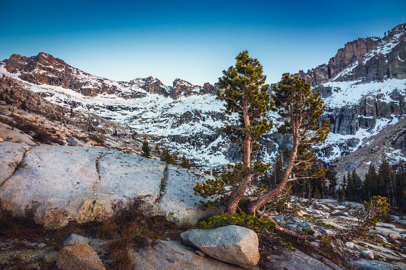
Trees in Emerald Lake basin.
We didn't see another soul.

Tonight's dinner menu: Top Ramen—chicken flavor. The warm, salty broth soothed our aching bones.
Of course, a healthy serving of whiskey was helpful too.
We scrambled to a nearby overlook to watch the sunset. Completely clear skies lead to a wonderful display of alpenglow.
Slowly, the first stars of evening began twinkling in the lavender light.

The cliché about how well our 'hotel room' is rated.
The temperature kept dropping; you could feel the dismal cold outside the tent.
Inside, I was snuggled up in my bag, warm, and happy to have a hot Nalgene cozied up to my feet. Altitude made it difficult to get to sleep despite today's workout.
Tomorrow—a day to chill.
Hey, want a ride?
Turn it around:
Stick your thumb out:

The Road Trip Day 5: Shwackin' and Chillin'
Warm sunlight streamed in through our tent. Somehow, I managed to sleep until 8 a.m. Glorious...

Sequoia National Park, California
May 11, 2015

Gotta find ways to warm up in chilly, subalpine mornings.
Warm sunlight streamed in through our tent. Somehow, I managed to sleep until 8 a.m. Glorious.
I got dressed and found a few oatmeal and fig bars for breakfast
Today's objectives:
1) Relax.
2) Get (closer) to the car.
We scoured the rocky alpine landscape in search of a great view with some hammock-able trees.

Scouting out potential chill-spots.
Carter spotted a nice ledge about a quarter mile away. He had his hammock, Caleb had his Z-rest. I planned on finding a comfortable rock in the shade.
It was a nice spot.

He's gonna regret the sunburn.

Carter busting a fat chill.
Eventually, we snapped back to reality. Tomorrow's drive is going to be long; an early start will be a necessity. We needed to pack up camp and hike back toward the car.
Hiking downhill is a lot less work.
We made great time.
There was a quaint picnic area by the parking lot which seemed closed for the winter season. It looked like a great place for an easy impromptu campsite.
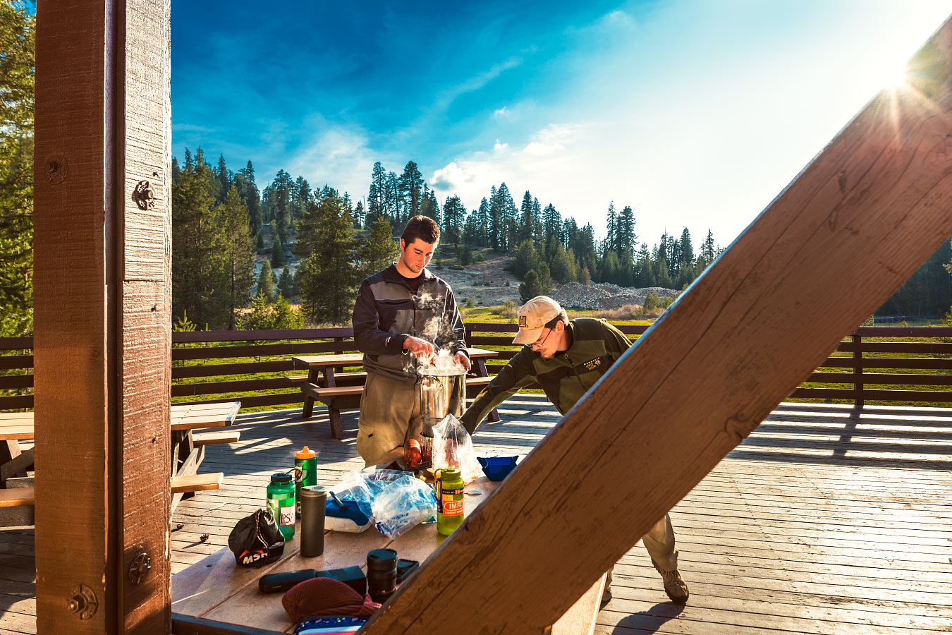
Stirring the pot; you don't want crunchies stuck to the bottom.
The three of us played a few games of cribbage. It seems like I'm losing more games than winning at this rate, but I did manage a 20-point hand. There was yelling.
Dinner was Santa Fe Chicken mixed with some fresh garlic and leftover cheddar cheese we found stashed in the car cooler.
Delicious.
With an empty parking lot and no one else around, we pumped the music a little louder than usual.
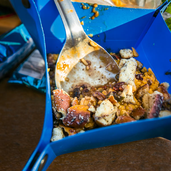
Yummy, crunchy.
Bedtime came with the arrival of darkness.
No tent, it looked clear enough.

Hay bales provide more insulation than a wooden floor. Right?
I tossed and turned the whole night. It was below freezing.
My hot water bottle didn't seem to do anything.

Wolverton Picnic Area at night.
Hey, want a ride?
Turn it around:
Stick your thumb out:

The Road Trip Day 6: Badwater, Good Vibes
Holy cow, it was FREEZING. I don't know which was more of a struggle: storing my DSLR at the bottom of my sleeping bag, or...

Death Valley National Park, California
May 12, 2015
Holy cow, it was FREEZING.
I don't know which was more of a struggle: storing my DSLR at the bottom of my sleeping bag, or using two hay bales as a mattress. I got absolutely zero sleep.
Dawn was at 6:30 a.m. We hustled to pack our belongings while attempting to stay warm. Caleb had to summon a bit of courage to put on his pants—they were completely covered in frost!
We had a long drive ahead of us.
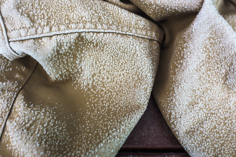
Frigid britches.
So, we started driving, stopping only for a Costco pizza in Bakersfield, California.
Through the middle of nowhere, down roads I didn't think would be healthy for any car's suspension, we drove. About six hours later we arrived at Badwater Basin, the lowest point in North America.
Finally, it was warm once again!
It's 282 feet below sea level. The sign was so tiny. Hard to imagine that much water being above my head. And all around me.

The sign in the top left says, “sea level”.
The main reason our drive took so long was to navigate around Mt. Whitney which ironically is the highest point in the contiguous US. Both extremes lie less than 100 miles from each other.
Weird.
We also made a stop at Artist's Palette.

We can't stay for very long.
A sign informed us the color in the rocks comes from oxidizing metals.

I'd visited before on a family vacation many years ago but since forgotten just how vivid the colors were.

What an alien world.
We stopped for a quick group shot before exiting the park.

Feeling artistic at Artist's Palette.
It was another 175 miles to our destination outside of Las Vegas.
Seven hours down, two to go. We continued driving.
Hey, want a ride?
Turn it around:
Stick your thumb out:

The Road Trip Day 7: Colorful Explosion
After yesterday's long haul, it felt nice to take things a little slower. A shower, an opportunity to do laundry, and a bagel with some schmear…

Zion National Park, Utah
May 13, 2015
After yesterday's long haul, it felt nice to take things a little slower.
A shower, an opportunity to do laundry, and a bagel with some schmear hit the spot. Most of the morning was spent talking with our friends who graciously let us crash for the night.
I realized this was the halfway point of our journey.
It was hard not to.
We packed up, said our see-ya-laters, and set out for the day.

Spending some quality time getting to know the Veterans Memorial Highway, also known as I-15.
Roads remained clear the entire way to Zion National Park.
For 150 miles, we meandered up I-15. Apparently, it continues all the way to Canada. Perhaps I'll drive its entirety one day.
The portion we covered was magnificent. Here's an excerpt from my journal:

Click here to view this in Google Street View.
“Succulent cottonwoods adorned wrinkled slot canyons, their crevices filled with sagebrush and rubber rabbitbrush; a colorful explosion.”
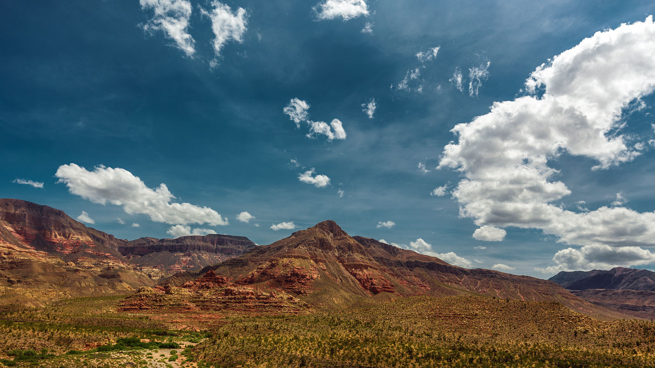
Virgin River Canyon Campground looks like a great place to spend a night or three.

Carter is on a hot streak.
We arrived in Zion, got our campsite, set up, and hopped on the shuttle for a quick tour of the canyon floor. It was a great way to get an idea of what we want to do tomorrow.
After the tour we caught another shuttle, this time to Springdale for “hors d'oeuvres and aperitifs”.
Back at camp, chili gently simmered away while we played a few more hands of cribbage and had our chips and beer.
I scavenged empty campsites for firewood. After a few trips, I collected enough unburned $16 firewood to use both nights we plan on staying. Score.
After dinner, I decided to take a walk around the campsites before it was time for bed. Carter informed us there's a 50 percent chance of thundershowers tonight through tomorrow afternoon. We are prepared but all of us are thinking dry thoughts.

Our neighbor's fire illuminated the cottonwoods in a mysterious manner.
Hopefully we don't end up hiking in the rain. I always seem to struggle at having fun in the rain.

Watchman Campground at night.
It looked clear out.
Hey, want a ride?
Turn it around:
Stick your thumb out:

The Road Trip Day 8: Where Angels Land
At 5:27 a.m., some yahoo's car alarm went off. After tossing and turning, I gave up and got dressed. It was a great excuse to get an earlier…

Zion National Park, Utah
May 14, 2015
At 5:27 a.m., some yahoo's car alarm went off.
After tossing and turning, I gave up and got dressed. It was a great excuse to get an earlier start than previously planned.
I shimmied on my clothes and hopped out of the tent. Much to my surprise, I found clear skies. The three of us assembled our day packs and filled up water bottles. Last night, we decided to climb Angels Landing, easily one of the most iconic Zion attractions. The Grotto Trailhead was only a 20-minute drive away.
At 8 a.m., in the cool of morning, we began our five mile hike.

Basically a 500 foot fall on either side with only a narrow rock path to stand on. Oh boy!
1,500 feet, up, up, up. We climbed.

I wonder how old this tree is. I wonder how many people have touched it. It must see some amazing sunrises.
I enjoyed my time up at the summit. It was just past 9 a.m. and it seemed clear we had beaten the majority of other hikers for the day. We shared the view with only four other people.
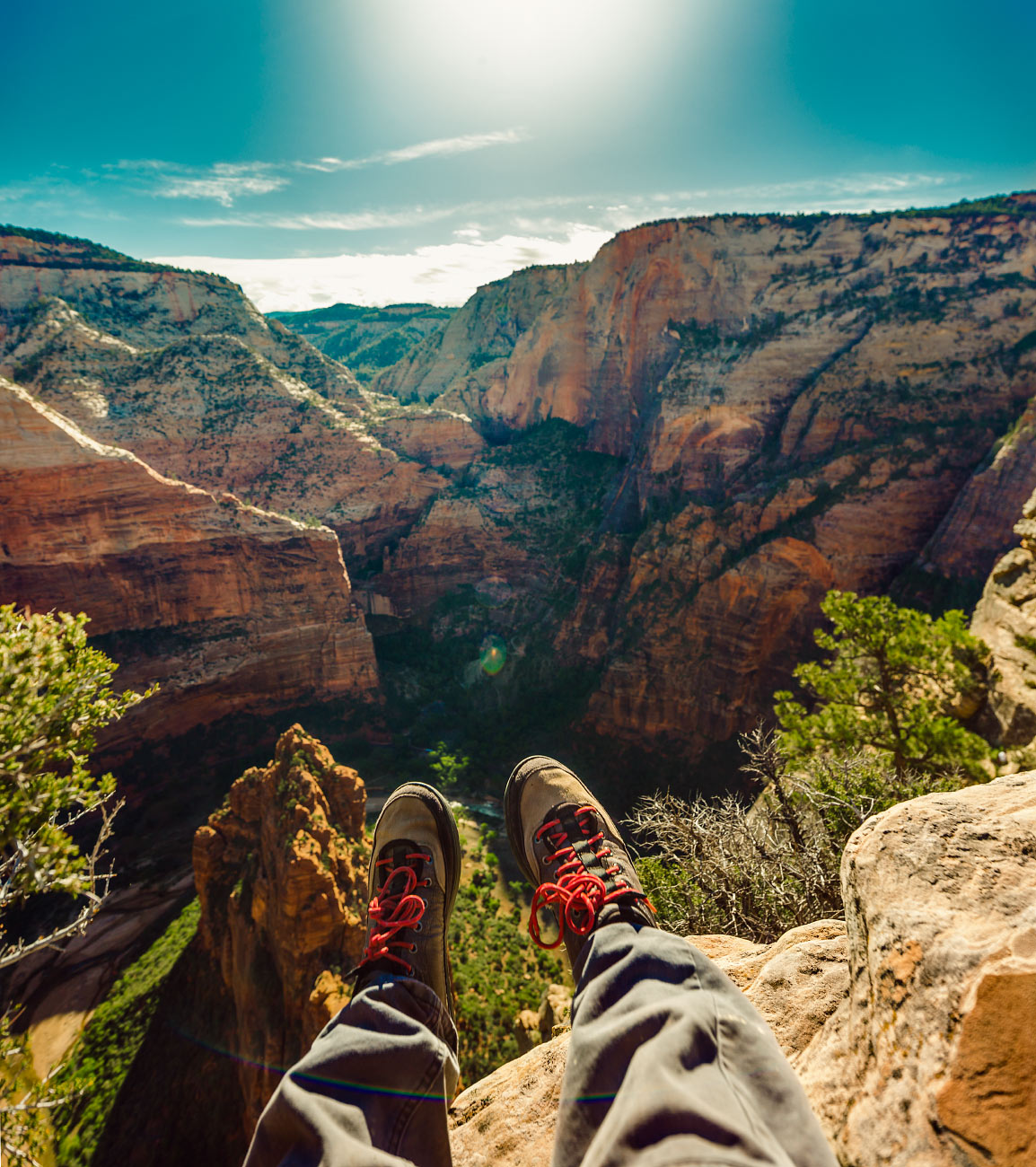
Angels Landing looking into Hidden Canyon.
It was grand.
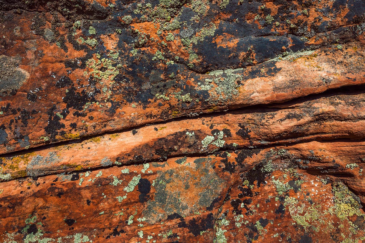

After thoroughly enjoying the view, it was time to descend. I snapped a few more photos, applied some sunscreen, and we carefully climbed back down.

If you've done the hike, you certainly remember the chain-rope sections.
15 years ago on a family vacation, my dad and I, along with two other family friends did the same Angels Landing hike. I was stunned to find out how much I remembered from my last trip. My hometown barely looks the same, but each sharp switchback and twisting tree seems to be right were I saw it last.

Carter finds an alternate trail.

One of the 21 switchbacks on Walter's Wiggles.
Refrigerator Canyon was completely in shadow when we set off. On the way down however, the canyon floor was bathed in sunlight. It was a magnificent sight to behold.
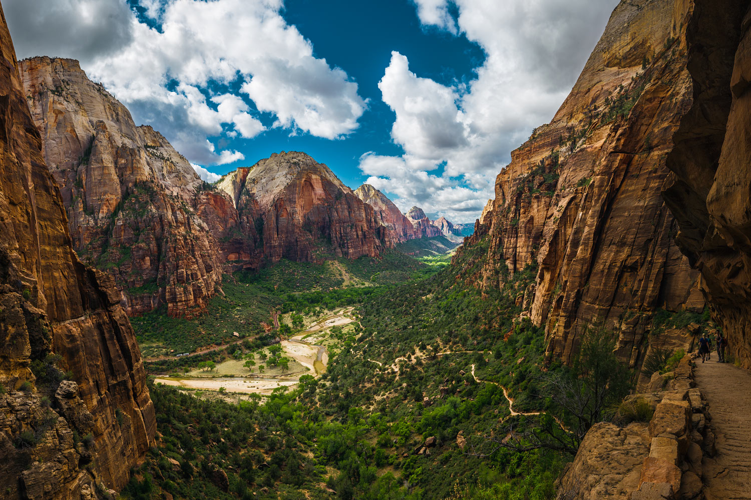
The Great White Throne, Deertrap, Mountain of the Sun, Bridge Mountain, and The Watchman as seen from above Refrigerator Canyon.
As soon as we got back to camp, it began drizzling. Snacks, cribbage board, and Bluetooth speaker in hand, we retreated to the tents and lounged away the remainder of our afternoon.
We walked to town and searched for dinner options; no one was in the mood to cook. Nothing jumped out at anyone, so we settled on some quaint and kitsch diner which was cheap and quiet.
Back at camp, we had a small fire and passed the whiskey bottle around. We chatted until bedtime arrived.
Hey, want a ride?
Turn it around:
Stick your thumb out:

The Road Trip Day 9: Alien Landscape
I awoke at 7 a.m. sharp, rain began falling at 7:02 a.m. Packing up in a light sprinkle is rarely enjoyable, but it was something we had to do. At least…

Bryce Canyon + Capitol Reef National Parks, Utah
May 15, 2015
I awoke at 7 a.m. sharp, rain began falling at 7:02 a.m.
Packing up in a light sprinkle is rarely enjoyable, but it was something we had to do. At least we got clear skies for yesterday's hike.
Today's drive was one of the longer ones; we boogied to get camp broken down, car packed and refueled, and road snacks restocked.
We waved goodbye to Zion.

Click here to view this in Google Street View.
Light rain suddenly turned to flurries of snow. The storm we had narrowly been avoiding finally caught up to us.
Along the way we stopped at Bryce Canyon. The visitor's center was packed due to the crummy weather. We took a quick visit to the rim, but you couldn't see a single hoodoo; it was completely socked in. Carter got his sticker all the same.

A very limited and snowy view of Bryce Canyon from the Rim trail.
We pressed on.
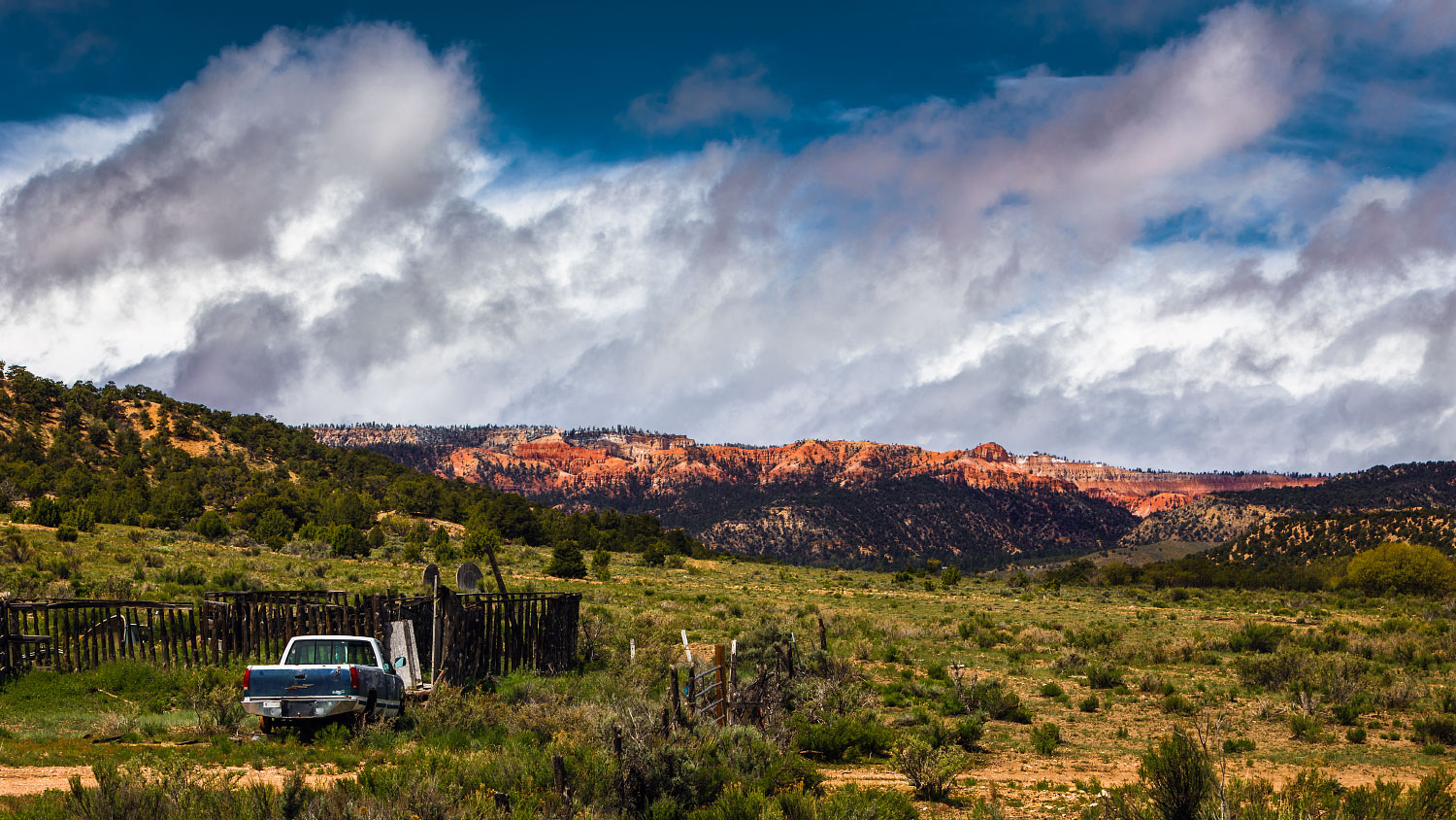
A pretty common view along State Route 12.

Head of the Rocks Overlook, Utah.

Looks like we skirted the storm.
The scenery was sublime. State Route 12 might be my favorite road in the US—certainly top three.
We started to get ahead of the storm. Another pull-off caught our attention. “Head of the Rocks Overlook”, proclaimed a small sign. Massive, angry clouds traveled West.
We were headed East.

Caleb made a feline friend during brunch.
The Smith's family friend has a restaurant we were told could not be missed, so we skipped breakfast to save time and not spoil our appetites.
Hell's Backbone Grill had a charming rustic vibe. We looked over the menu and didn't take long. Caleb got French toast, Carter got a quesadilla, and I got shirred eggs with several cups of coffee.
It was pure heaven for our travel-addled bodies.

Quite the brunch spread at Hell's Backbone Grill.
We said our thank-yous and got back on the road once again. Capitol Reef was on our way to Moab; we couldn't resist a short stop at the visitor's center.
Carter's sticker-window is running out of real estate.

Chimney Rock and Mummy Cliff as seen from Utah State Route 24.
Tonight, we are staying at a cheap RV and campground spot in Moab. Hour after hour, our vehicular spaceship zoomed through the alien landscape.
We arrived at the River Oasis RV Park in Moab. Apparently, it has free WiFi, but I had trouble loading Google. Dinner was beef stroganoff with several additional cloves of garlic.
Tomorrow's plan is Arches.
Hey, want a ride?
Turn it around:
Stick your thumb out:

The Road Trip Day 10: A Million Square Miles
It was another drizzly, rainy morning. Having showered last night, we had no further obligations or desires to stay another night at the 'majestic' River Oasis RV park…

Arches National Park + Dead Horse Point State Park, Utah
May 16, 2015
It was another drizzly, rainy morning.
Having showered last night, we had no further obligations or desires to stay another night at the 'majestic' River Oasis RV park, so once more, we packed our belongings in the rain. It wasn't bothersome, hell, it rained less than yesterday.
On our way into the park, we stopped for fuel and snacks. I got another Frappucino, easily my fourth during this trip.
My day-bag practically packs itself now. We were ready to go in less than 30 minutes.

A pair of hikers taking a break along Delicate Arch Trail.
Delicate Arch is is in the middle of the park and it made sense to beat the possible crowds. After a short drive into the park, we got out of the car and onto a trail.

It looked just like the postcards.

Pine Tree Arch.

Tunnel Arch.
We also went to Pine Tree Arch, Tunnel Arch, and Landscape Arch. The park didn't seem the least bit crowded. Plus, the rain and clouds had started to clear, leaving us with some gorgeous views.
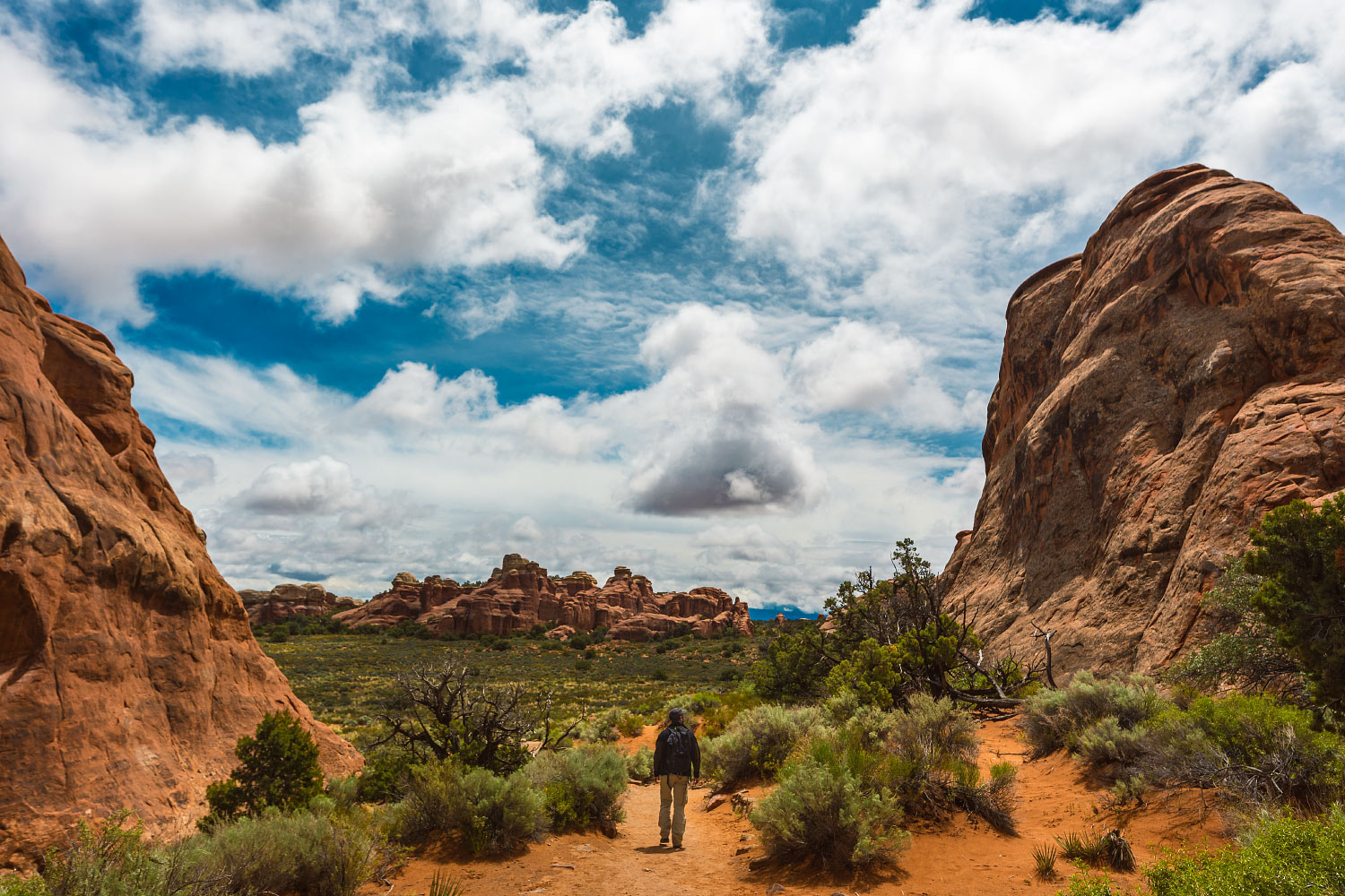
We spent the second half of our day at Dead Horse Point State Park.
Upon arriving at the parking lot, I promptly got out and rummaged through our swampy ice chest. Tailgate down, I made tuna salad; complete with celery, garlic, and capers. A small roadside-cafe van was selling lunch items, but most importantly, fresh espresso. I was beyond stoked.
I got my iced Americano and considered the day worthwhile.
The three of us munched under the shade of an awning. The sun was warm and the breeze was cool.

Refreshed, we walked up a small hill to check out the acclaimed overlook.

La Sal Mountains as seen from Dead Horse Point lookout.
I was genuinely stunned.
The three of us stared slack-jawed for quite some time.

We drove back into town and checked into the Lazy Lizard Hostel. Everyone was enamored with the place. After unpacking, we immediately booked a second night. It was that cool.
Showered, and with fresh clothes (not even previously worn), we went out for dinner at the Moab Brewery. It had rave reviews and a solid line every time we had driven by earlier. I had a patty melt with Swiss and mushrooms which was complimented well by an orange hef.
Back at the hostel, we continued our cribbage saga. There's no use in fibbing; I got demolished. It didn't matter, we laughed the entire game.
It kept me from remembering—only three days remain.
Hey, want a ride?
Turn it around:
Stick your thumb out:

The Road Trip Day 11: Fractal Canyons
I woke up on the floor earlier than I wanted to; I neglected to close the blinds. Light streamed into our tiny room. Not long after…

Canyonlands National Park, Utah
May 17, 2015
I woke up on the floor earlier than I wanted to; I neglected to close the blinds. Light streamed into our tiny room.
Not long after, my fellow compatriots were up and moving. Our plan was to check out Canyonlands National Park and word from our mutual friends told us to visit the southern half.
Needles District Visitor Center looked like a mirage from the distance. Why was there any structure built there? For the last 75 miles, this was the only man-made thing I saw other than the highway.
The nice park ranger said we would have a hard time passing up the Slickrock Foot trail. We parked the car and hopped out.

Caleb Jennings before his morning Gatorade.

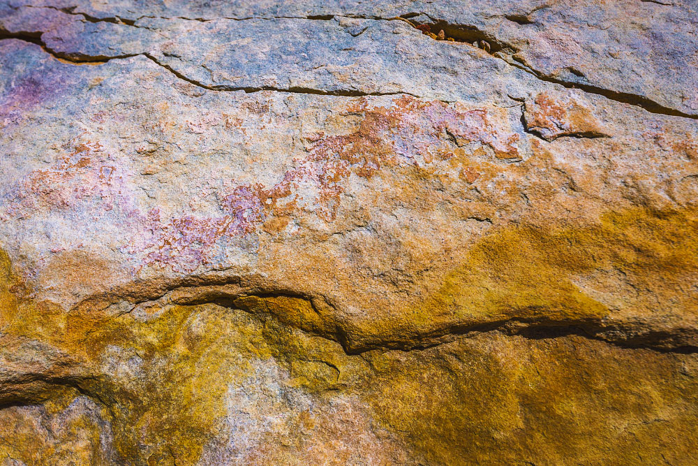
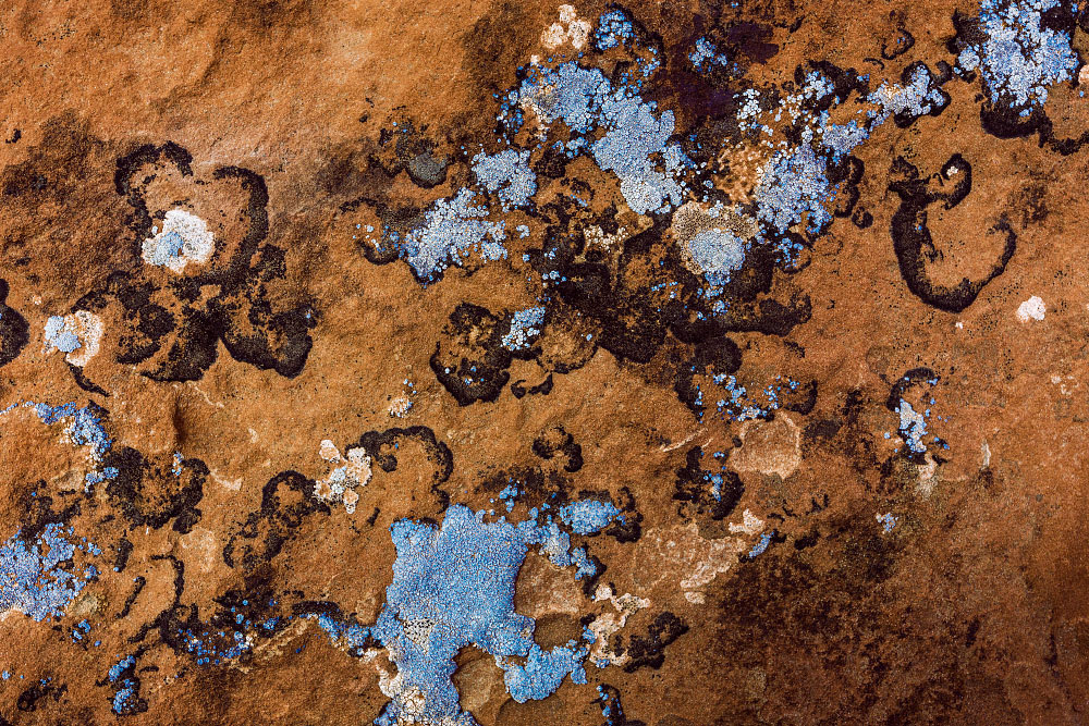
Sprawling fractal canyons as far as I could see. Where were we? When? How? We schwacked over rocks, shrubs, and cyanobacteria. Apparently they're one of the oldest things on our planet.
We got hungry for lunch and aimed for the car. Our ice chest, beginning to take on some odor, had tuna salad fixings from yesterday.
Everything wrapped in tortillas tastes great.

Click here to view this in Google Street View.
There were a few short trail loops on the way out of the park; Roadside Ruin and Cave Spring. Both lived up to their names. For nearly half a mile we walked under eroded boulders. Moss and delicate ferns sprouted from the damp, weeping rocks.
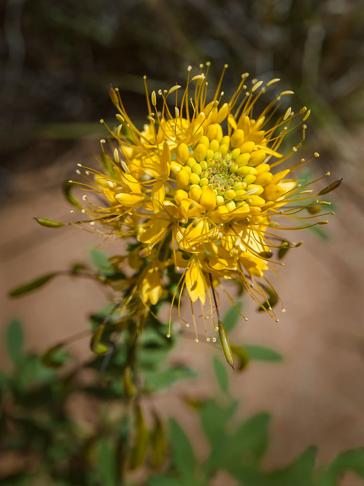
Cleome lutea, or yellow beeplant.

A typical scene at Canyonlands.
We were surrounded by the oddest of tableaux.

Parched and tired, and with snacks no longer carrying their weight, we drove back into Moab. The brewery pulled us in. Beer and gelato was just the kind of refreshing treat we needed.
Back at the hostel, we took turns showering and checking the internet. I scrolled to see if I had any emails or if there were any dumb internet videos.
There were.
We tried to keep strong and remain frugal for dinner; dehydrated didn't sound delicious. It didn't work. We ordered a chicken-pesto pizza from a local shop. And garlic knots.
Also, I think Carter is cheating at cribbage. You can only get so many 16-point hands...
Hey, want a ride?
Turn it around:
Stick your thumb out:

The Road Trip Day 12: The Magnitude of Time
I was kinda bummed to wave goodbye to the Lazy Lizard Hostel. I had a sense that other guests before me felt the same way…

Mesa Verde National Park, Colorado
May 18, 2015
I was kinda bummed to wave goodbye to the Lazy Lizard Hostel. I had a sense that other guests before me felt the same way. With the last remaining arm-load of gear, we turned in the keys to the front desk and piled in the car.
Carter's friend highly recommended a brunch stop at the Wake and Bake Cafe. I had huevos rancheros in a buckwheat crepe. Pretty decent, could have used more salsa.
Today's drive was long, we covered at least 300 miles. We planned for a long stop at Mesa Verde National Park which was on the way.
The park entrance was quite mysterious.
Slowly, we gained in altitude. At some points the road hugged an escarpment; where were we going? We saw the visitors center and things began to make sense. With requisite stickers purchased we headed down a short trail to see the Spruce Tree House.

Spruce Tree House looks like one hell of a place to throw a party.
For nearly two weeks we had been getting accustomed to stunning landscapes and gorgeous vistas throughout America's southwest. It was odd, to say the least, to find myself viewing a small collection of ruins. Dare I say I was bored?
The best part was seeing how those people set up their establishment. It looked quite secluded and safe; if I stumbled on that 1,000 years ago, I would have set up shop.
We still had a lot of ground to cover.

Mountains and clouds somewhere in Durango, Colorado.
After an unmemorable stop at Subway, we arrived at a Super 8 motel in Alamosa; a far departure from last night's homey accommodations. It had a roof and Carter's dad covered our stay, though. I have to remember to write him a thank-you card.
Finishing the whiskey was a bittersweet moment. However, pegging for a win is an unfair highlight of my entire trip.
One more day left.
Hey, want a ride?
Turn it around:
Stick your thumb out:

The Road Trip Day 13: Surge Flow
Like most hotels, I had a rough night getting used to the cantankerous air conditioning unit switching on and off. Our neighbors had a housewarming party…

Great Sand Dunes National Park and Preserve, Colorado
May 19, 2015
Like most hotels, I had a rough night getting used to the cantankerous air conditioning unit switching on and off. Our neighbors had a housewarming party, it seemed.
The three of us, rubbing sleep from our eyes, went to the lobby for 'continental breakfast' which had a predictably limited selection. I cobbled together a peanut butter and butter toast-sandwich with a few cups of Styrofoam coffee. Under the television blaring a morning FOX program, we quietly finalized our plans.
We arrived at the Great Sand Dunes parking lot at 8:30 a.m.; everything was freshly wet from a night of rain.

Wet sand dunes are a different experience altogether.
Just beyond the parking lot in front of the dunes, a wide, pulsating river obstructed a clear path. Nearly a football field of ankle-deep water lay between us and the dunes; a surge flow. There didn't look to be any way around but through. We took of our shoes and socks and stashed them at the bank.
The water was beyond cold. Polar plunges, dares from high school friends, the Atlantic, every cold water event I had previously paled in comparison until today. The cold water lost its novelty immediately. Only shin-deep a few steps in and I found it difficult to breathe. I can't imagine falling through an iced-over lake.
We started to walk around and the sky kept getting darker. After another 10 minutes we bailed for the car, and a moment after crossing the frigid river once more, it began to pour. I had to towel off before getting into the car.
After nearly two weeks of being on the road, we made it safely to Eagle Nest. Tom aggressively shook my hand, like always; Vicky hugged me deeply, like always; Will did both, like always. The McKinney's cabin is beyond special, it feels so good to be back here once more—I am so lucky.
Everyone took a shady seat under one of the huge Ponderosas in the front yard. We shared stories from our journey and pet the many lounging dogs.
The Road Trip may have come to an end, but the start of summer is upon us.
Tomorrow. It begins.

You can't scratch Moonlight, really. He's got so much fur, your fingers get lost or caught.
Hey, want a ride?
Turn it around:
About the Blog

Justin Kernes is a photographer and writer who thrives in the great outdoors.
From 2010-2017, he worked in the backcountry at Philmont Scout Ranch in New Mexico.
In 2018 “Tiny Slice” successfully thru-hiked the Pacific Crest Trail.
Search the Blog
Featured Posts


Photos and stories from my thru-hike of the PCT. This post covers day 111, Goat Rocks and my 30th birthday.